Raster and vector networks
earthkit-hydro supports both raster (gridded) and vector river networks. These network types have slightly different characteristics which necessitate some clarification.
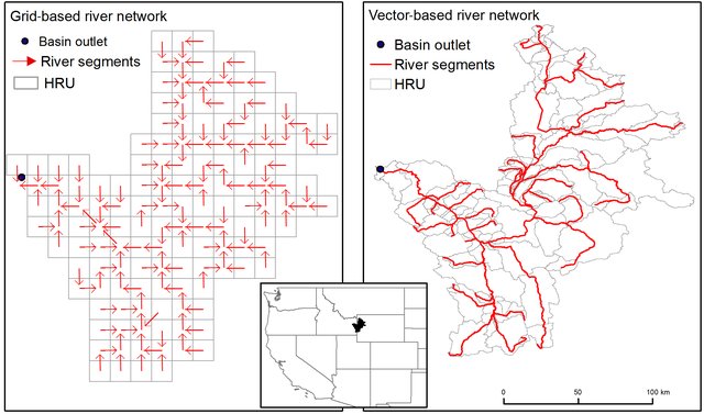
Raster networks
Raster networks are the most common type of river network in earthkit-hydro. They are represented as a grid where each cell corresponds to a specific location in the river network. With these type of networks, it is often most natural to conduct river network operations directly on this grid.
import earthkit.hydro as ekh

# Load a raster river network
network = ekh.river_network.load("efas", "5")

field = np.ones(network.shape) # field on the river network grid

output = ekh.upstream.sum(network, field) # output on same grid
Vector networks
In vector networks, each river segment is represented as a node, and the network is defined by the connections between these nodes.
# vector field (1D) defined on the nodes of the river network
field = np.ones(network.n_nodes)

# output field is also 1D, defined on the nodes of the river network
output = ekh.upstream.sum(network, field, return_grid=False)
Switching between vector and raster
Raster networks can also be used as if they were vector networks, since internally the raster network is represented as a vector network. To allow users to work with both types of networks seamlessly, earthkit-hydro has the return_grid function argument, which is by default True. This allows the user to specify whether they want a gridded output (only available for raster networks), or a 1d-vector output.
Note that it is possible to mix gridded and raster inputs to functions.
# vector field (1D) defined on the nodes of the river network
field = np.ones(network.n_nodes)

# output field is a grid
output = ekh.upstream.sum(network, field)
Multidimensional inputs
Any leading dimensions of the data are treated as batch/vectorised dimensions, allowing for operations on multiple fields at once. This means that users can pass directly time series or other multi-dimensional data without needing to manually loop. The last dimensions are always assumed to be spatial i.e. either the grid dimensions, or the 1d vector dimension.
# vector field (1D) defined on the nodes of the river network
field = np.ones((3, 4, 5, network.n_nodes))

# output field is of shape (3, 4, 5, *network.shape)
output = ekh.upstream.sum(network, field)